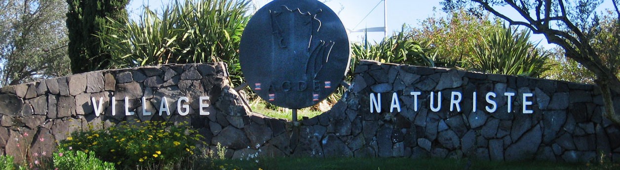
Maps of the naturist village of Cap d’Agde
The naturist center of Cap d’Agde is a village on itself. Very often people are reffering to it as the naturist village of Cap d’Agde and not without reason. The area is divided in a sort of “districts” and massive buildings with their own name. Furthermore there are some ‘main roads’ where you can drive, but there are also paths and lanes wich are not accessible by car and are exclusively intented for walking. Actually the car is hardly useful in the naturist village. Everything is accessible by foot and if you nevertheless decide to take the car inside the village, you will be confronted with such parking problems that in the end walking will turn out to be the best option in most cases.
Despite the fact that almost anything is located pretty much close to anything else, it would certainly help to know the names of the different districts and buildings of Cap d’Agde and where they are located. It would be a lot easier to find for example the bakery or the ATM. And it would also be convenient to have some basic knowledge about the mapping. E.g. when you are looking for your swingers date in Venus Village you don’t want to do a tour around the area first for an extra 15 minutes and arrive all sweaty at your date.
On this page we will answer the most frequent asked questions about the mapping and the different areas of the naturist village of Cap d’Agde. If possible we will show also images and maps. Furthermore we will provide every district/building of additional information about the facilities you can find there. This way you will get a good overview and understanding of the naturist village of Cap d’Agde and trust us if we say, this will save you a lot of time and irritations.
Last edited on 4 march 2016
This page will be completed in the course of 2016